
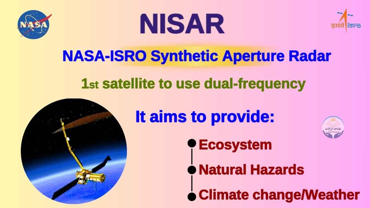
NASA-ISRO Synthetic Aperture Radar (NISAR)!
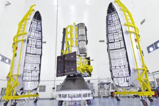
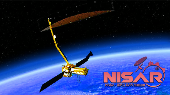
The NASA-ISRO Synthetic Aperture Radar (NISAR) mission is a groundbreaking joint project between the National Aeronautics and Space Administration (NASA) and the Indian Space Research Organisation (ISRO), set to launch on July 30, 2025, from the Satish Dhawan Space Centre in Sriharikota, India, aboard a GSLV Mark II rocket. NISAR is the first satellite to use dual-frequency Synthetic Aperture Radar (SAR) systems. L-band (NASA) and S-band (ISRO)—to monitor Earth’s surface with unprecedented detail. It aims to provide high-resolution, all-weather, day-and-night data on ecosystems, natural hazards, and climate change every 12 days. Below is a comprehensive overview of the NISAR experiment, including its objectives, technical details, applications, and impact, tailored for 2025.
IB ACIO Grade 2 Recruitment 2025
Mission Overview:
- Name: NASA-ISRO Synthetic Aperture Radar (NISAR)
- Launch Date: July 30, 2025, at 17:40 IST (subject to final confirmation)
- Cost: Approximately $1.5 billion (NASA: $1.118 billion, ISRO: ₹788 crore/~$93 million), making it the world’s most expensive Earth-imaging satellite.
- Orbit: Sun-Synchronous Orbit (SSO), dawn-to-dusk, at ~747 km altitude.
- Mission Duration: 3 years (primary mission), with potential extensions.
- Objective: To map Earth’s land and ice-covered surfaces every 12 days, providing data on ecosystems, biomass, natural hazards (earthquakes, tsunamis, volcanoes, landslides), sea level rise, groundwater, and infrastructure stability.
Experimental Design and Workflow:
- Synthetic Aperture Radar (SAR):
- SAR uses radar pulses to create high-resolution images, unaffected by clouds, darkness, or smoke, unlike optical satellites.
- Dual-frequency (L-band and S-band) allows penetration through vegetation and soil, capturing subsurface and surface changes.
- Data Collection:
- NISAR scans Earth every 12 days, covering both ascending (dawn) and descending (dusk) passes for comprehensive global coverage.
- A 240 km swath ensures broad spatial coverage, with data processed into Experiment Data Records (EDRs) and Supplementary Experiment Data Records (SEDRs) for analysis.
- Biomass Estimation:
- Uses dual-polarimetric (dual-pol) observations to estimate biomass from radar backscatter, with simulations showing robust performance despite swath gaps.
- Example: Global biomass error histograms generated from one year of observations.
- Wetland Mapping:
- Employs a backscatter thresholding algorithm to detect open water and inundated vegetation, using double-bounce and specular scattering mechanisms.
- Calibration/validation site: Pacaya Samiria National Reserve, Peru.
- Calibration and Validation:
- Corner reflectors at IIT-Kanpur and IIT-Patna ensure radar accuracy during the in-orbit checkout phase.
- End-to-end science performance estimation tools model radar errors and validate data quality.
Applications:
- Agriculture: Provides soil moisture data at farm-field resolution, aiding Indian farmers in crop management and yield optimization.
- Disaster Management: Enables rapid response to earthquakes, tsunamis, volcanoes, and landslides by detecting surface shifts in real-time.
- Climate Research: Tracks ice sheet dynamics, sea level rise, and deforestation to inform climate models and policy.
- Urban Planning: Monitors infrastructure stability and urbanization, detecting subsidence and oil spills.
- Ecosystem Conservation: Maps wetlands and forests to support biodiversity and sustainable resource management.
RBI Grade Officers Recruitment 2025
Future Prospects
- Extended Mission: Post the 3-year primary mission, NISAR could continue operations, providing long-term data for climate and hazard trends.
- Global Applications: Data will support international frameworks like the Paris Agreement and UN Sustainable Development Goals.
- Technological Legacy: NISAR’s dual-frequency SAR technology may inspire future missions, enhancing global Earth observation capabilities.